


The Midwest is getting wetter and wilder, but that doesn’t necessarily mean the mighty Mississippi River will run its banks more often.
Wisconsin receives about two more inches of rain each year than it did in the early 1950s, according to data from the Midwest Regional Climate Center. The trend is even more dramatic in Minnesota and across the nine-state Midwestern climate region. Out of 120 years of available data in Wisconsin, six of the top 20 years for annual rainfall occurred since 2000.
Years since 1990 are disproportionately represented in lists of top monthly rainfalls since the beginning of the 20th century. The trend is especially true in the months of April through August, where years since 2000 hold eight of the 25 spots. In other words, the last one seventh of the years take up nearly a third of the spots.
And rain is falling more often in intense events, like the deluge of 2007, when seven people in southeast Minnesota died in flash flooding.
People are also reading…
Between 1958 and 2012, the Midwest saw a 37 percent increase in heavy rain events, according to the National Climate Assessment, a three-year study released in 2014.
“That’s pretty substantial,” said Stephen Vavrus, senior scientist in the Nelson Institute Center for Climatic Research at the University of Wisconsin.
It is also consistent with a climate that is warming — globally and locally. Wisconsin and Minnesota are both about two degrees warmer than they were at the beginning of the 20th century.
“As the climate warms there’s more moisture in the air to tap when we do get the right conditions for heavy rainfall,” Vavrus said. “Even when the weather patterns are very similar nowadays to what they were 50 years ago, there’s generally more moisture to work with.”
The pattern is expected to continue in the coming decades as temperatures continue to increase, according to the Climate Assessment.
Even areas that become more arid will likely see the rain falling in more intense bursts.
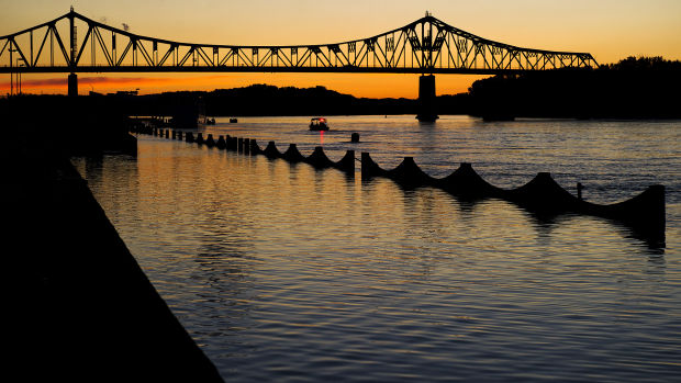
Those heavy rains contribute to erosion, make life hard for farmers and can trigger flash floods in creeks and small rivers. But they typically don’t make a big impact on the Mississippi River, said Mike Welvaert, hydrologist for the National Weather Service in La Crosse.
The reason has to do with volume.
The Mississippi drains most of Minnesota and Northern Wisconsin before passing through La Crosse with an average volume of 40,000 to 100,000 cubic feet per second.
To put that into perspective, a cubic foot of water is roughly the size of a basketball, a metaphor Welvaert uses to describe the peak flow during the 1965 flood.
“Picture 278,000 basketballs passing you in a second,” Welvaert said. “That’s an awful lot of March madness right there.”
Welvaert said the thaw is just as important in determining the likelihood of a flood.
The largest Mississippi River floods to affect La Crosse — in 1965, 1880 and 2001 — were all the result of heavy snows across northern and western Minnesota that lingered into late spring.
When temperatures rise quickly, the soil can’t absorb as much of that moisture, which ends up in streams and rivers.
Vavrus said while climate models predict wetter winters for the Midwest, it’s likely that more of that precipitation could come in the form of rain.


